Project Overview
This project reassessed the network of Rich Biodiversity Areas (RBAs) in the West Bank to support updated national biodiversity planning and conservation priorities. The original RBA network, developed and adapted in 2012 by the Palestinian Authority, relied on outdated datasets and required scientific revision to reflect current ecological conditions and land-use changes. Through spatial analysis, field assessments, and ecological evaluation, the project aimed to identify areas that continue to hold high biodiversity value, assess sites that have experienced ecological degradation, and propose new areas of conservation importance to inform national spatial planning processes.
Key Information
- Funded by
- UNDP / Global Environment Facility (GEF)
- Duration
- 6 months
- Location
- West Bank
- Partners
- Environment Quality Authority (EQA)
- Direct beneficiaries
- Environmental planning institutions and national decision-makers
- Implementation period
- 2025
Objectives
To update and scientifically reassess the network of Rich Biodiversity Areas in the West Bank in order to support national spatial planning, strengthen biodiversity conservation priorities, and provide evidence-based recommendations for future environmental management.
Key Activities
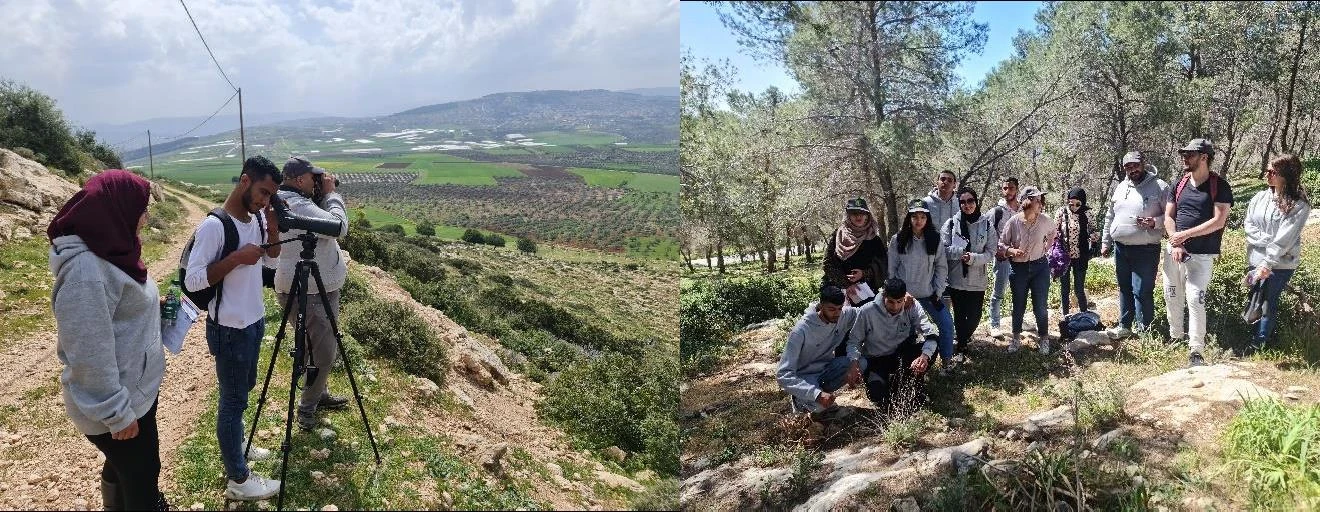
The project applied a multidisciplinary methodology combining literature review, ecological assessment and field survey, and spatial analysis using Geographic Information Systems (GIS). Fifty previously identified biodiversity areas were evaluated using updated spatial datasets and high-resolution aerial imagery from 2023–2024. The assessment examined habitat conditions, species presence, ecological threats, and landscape changes. The evaluation was conducted using 11 internationally recognized environmental criteria to ensure scientific rigor and comparability, and 4 national outlines. Based on these analyses, areas were classified according to their current ecological value and conservation relevance.
Results and Impact
The assessment revealed significant environmental degradation across many previously identified biodiversity areas. Of the 50 RBAs evaluated, only 15 sites retained sufficient ecological value, including 12 with modified boundaries and three unchanged areas. Thirty- five sites no longer met the required ecological criteria due to habitat degradation, land-use change, or political and administrative constraints. To address these gaps, the project proposed ten new biodiversity areas, primarily located in Area C, covering approximately 12.6 km². The study recommended an updated network of 25 Rich Biodiversity Areas to guide national conservation planning and environmental management.
Strategic Contribution
The project provides an updated scientific foundation for biodiversity conservation within Palestine’s national spatial planning framework. It supports evidence-based decision-making for land-use planning, conservation prioritization, and ecosystem protection. By integrating updated ecological data into national planning processes, the initiative contributes to strengthening biodiversity governance and aligns with international biodiversity conservation commitments.